

Chapter 6 of 12
Holding water
Slow it, spread it, sink it: water as the first task on dry land.
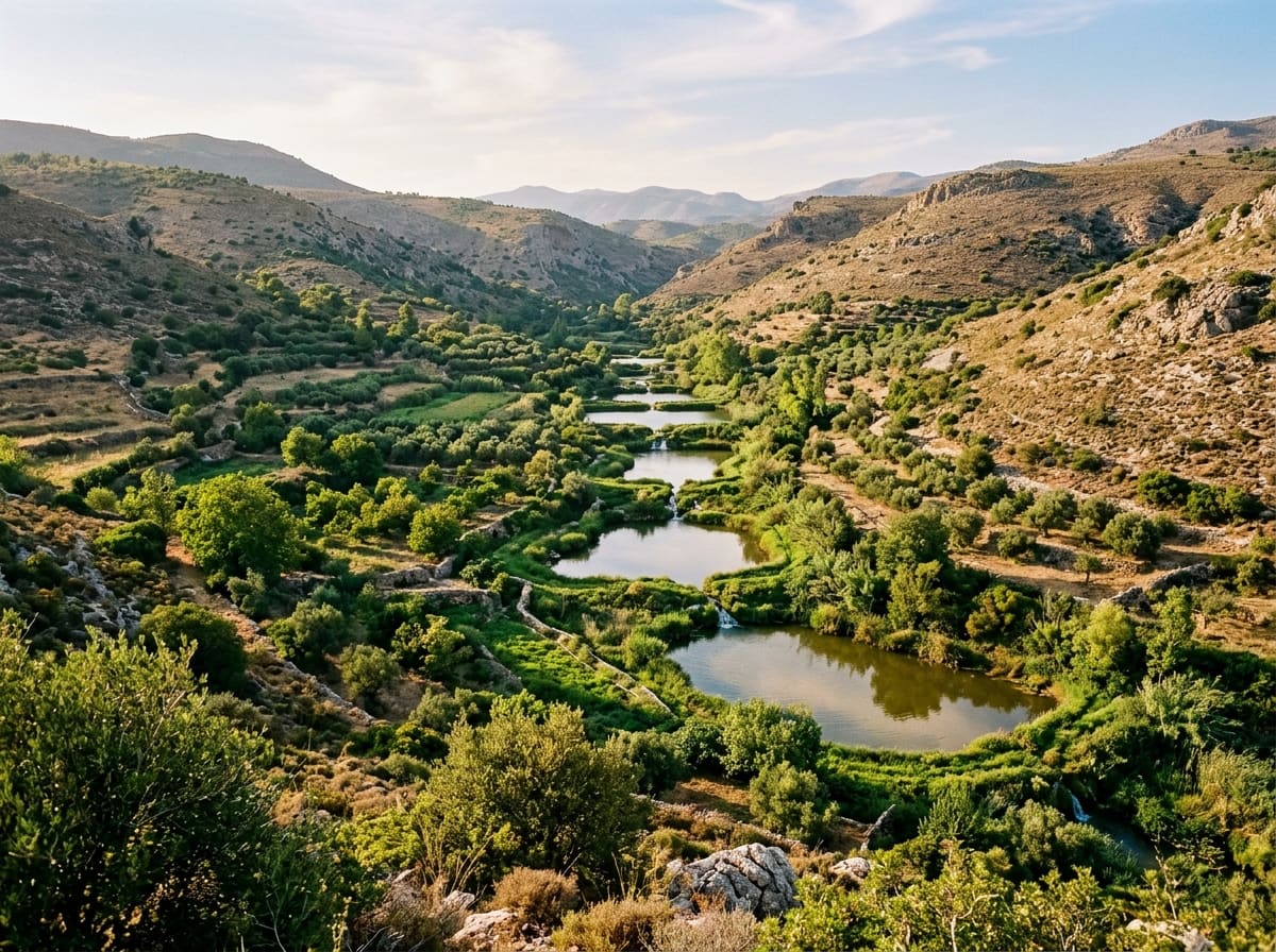
0 of 12 pages read. Read them all for the stamp in your travel passport.On dry land, water is the first task. In many dry regions the rain comes in a few heavy bursts, and then plants have to get through months with hardly any. Whether a place stays green depends less on how much rain falls than on how much of it stays. On land the water cycle remains closed only where water is held, soaks into the soil and is passed on by plants.
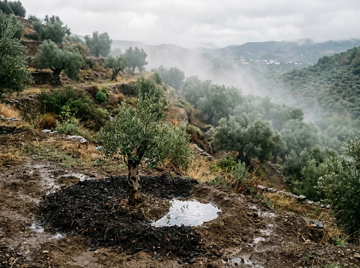
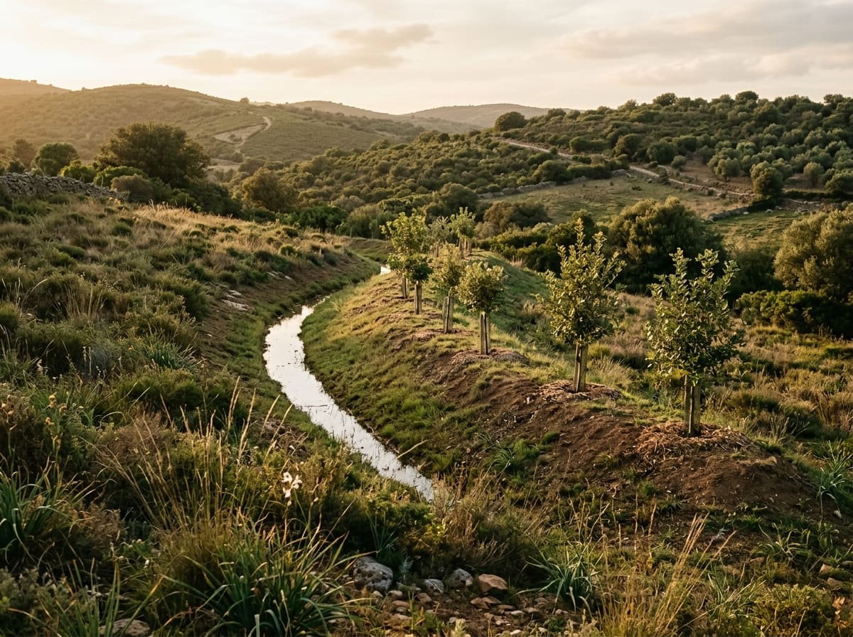
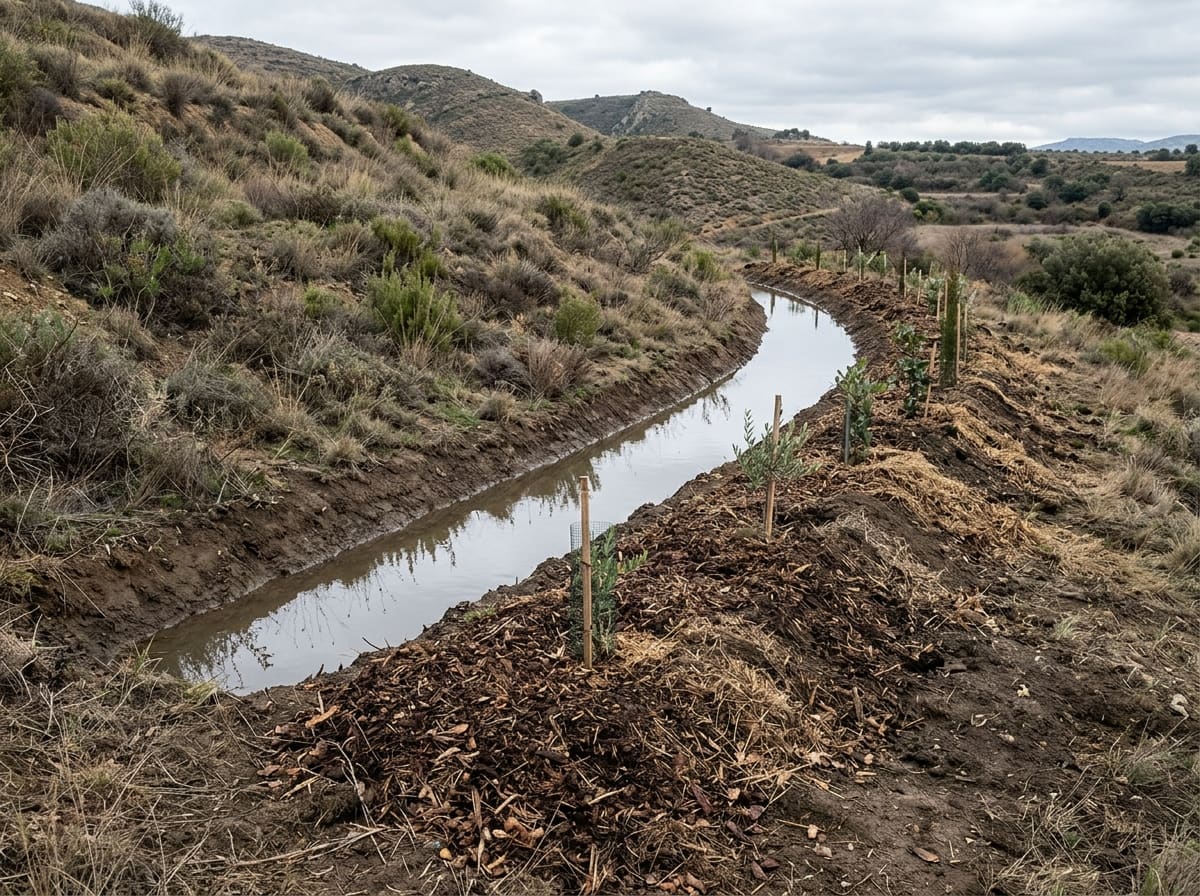
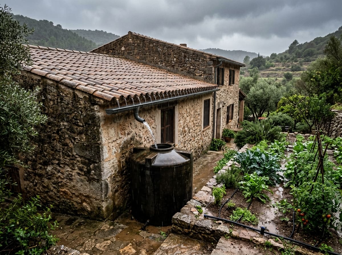
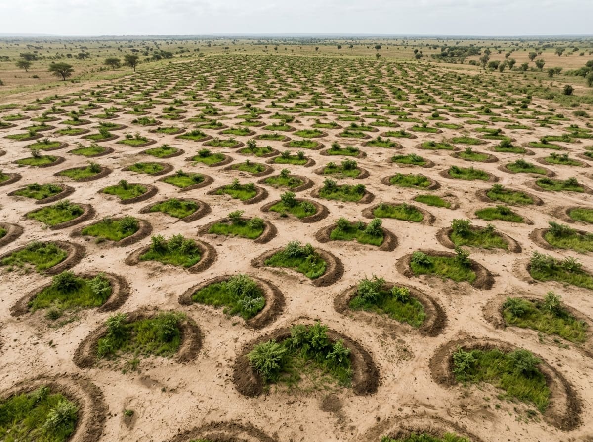
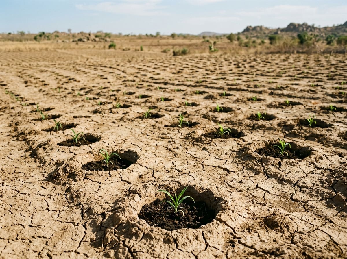
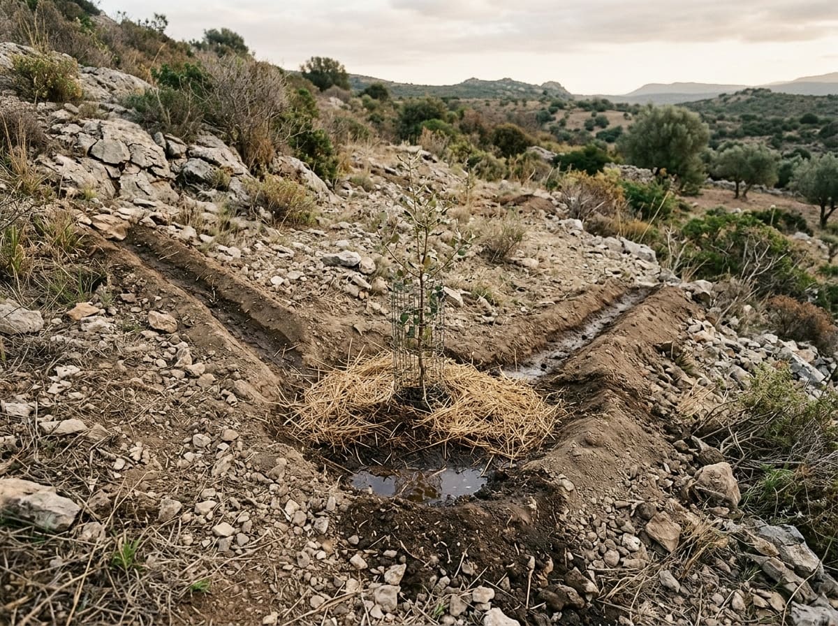
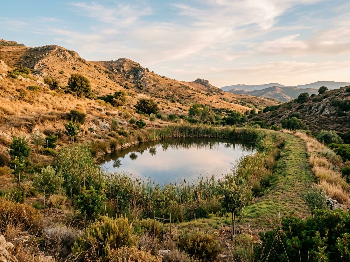
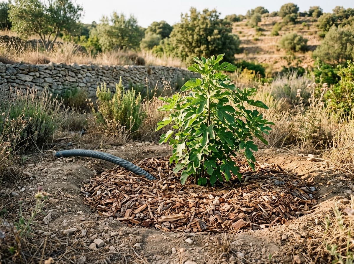
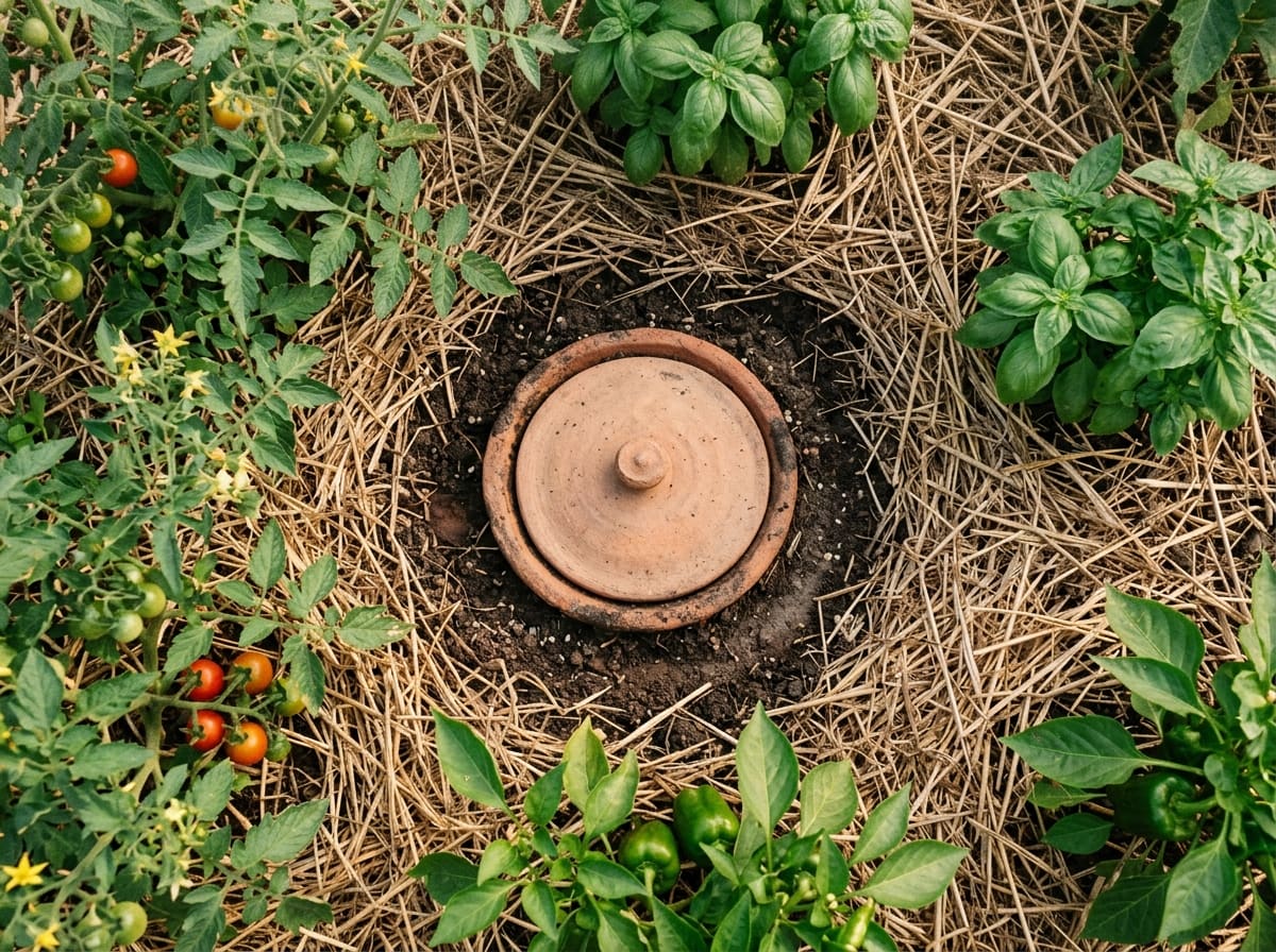
That is why this chapter comes straight after the tools: almost every design on a dry slope starts with the path of water. The rule is simple: slow it, spread it, sink it. The techniques below put it into practice at every scale. A swale runs exactly along the contour and lets runoff soak in. Half-moons, zaï pits and microcatchments gather the rain of a larger patch for a single plant, as farmers in the Sahel and East Africa do. Roof water fills a dark cistern for the dry season, a retention pond holds back winter runoff, and an olla, a buried clay pot, waters roots slowly from below. Greywater from showers and basins can be used a second time on the land.
Where these pieces come together, a whole landscape can learn to keep its rain: the water retention landscape, an approach shaped by Sepp Holzer.
Pages in this chapter


Try it yourself
Follow the rain
- 1During a gentle rain or just after it, walk around your house, your garden or your street.
- 2Watch where the water runs, where it collects in puddles and where it disappears.
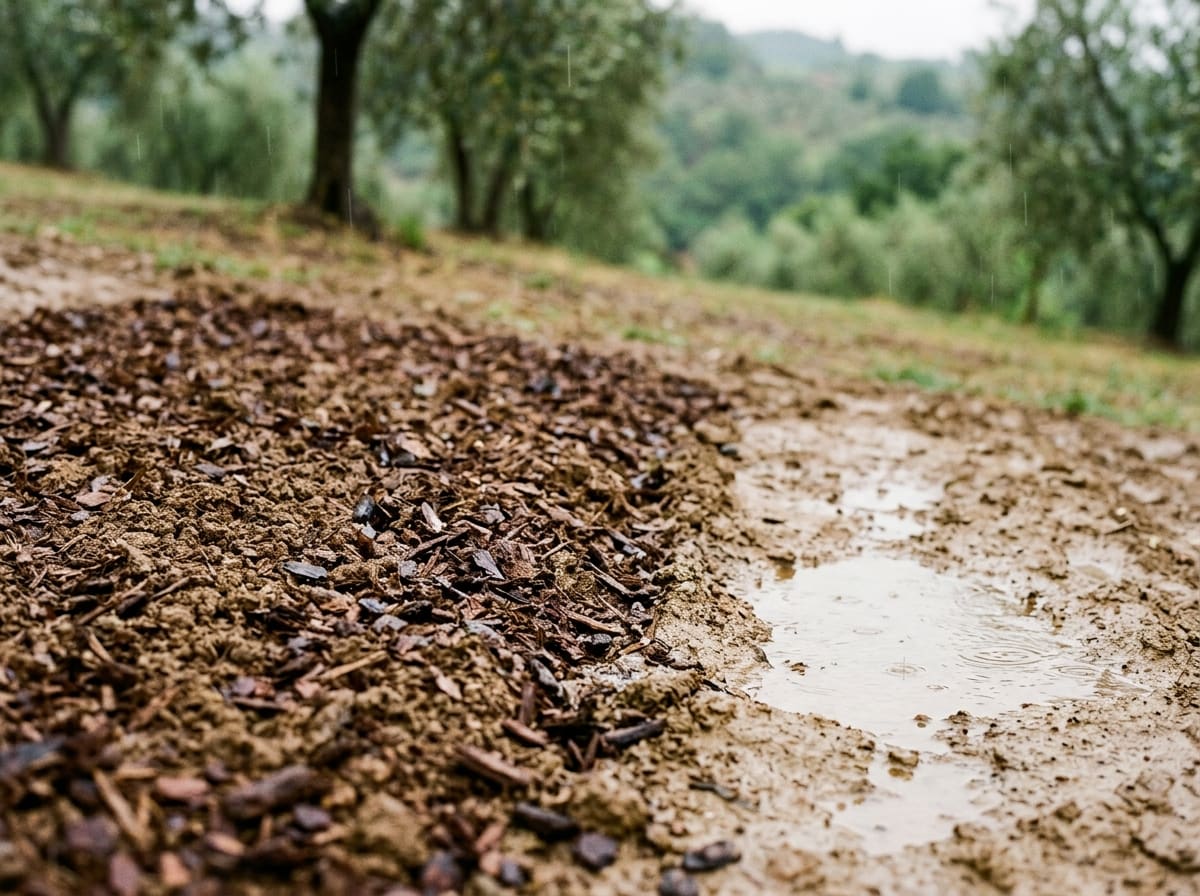
- 3Compare bare ground with ground covered by plants or leaves: where does the water stay longer on the surface?
- 4On a dry day, pour one watering can slowly onto bare soil and one onto soil covered with leaves or grass, and count how long each takes to soak in.
- 5Sketch the paths of the water and mark one spot where you could slow it down.
At Sa Medada
Sa Medada receives its rain in the cooler half of the year; the dry season runs roughly from May to September. The LiDAR maps show two seasonal watercourses along the sides of the land and a comparatively dry main area, with moister channels along the edges. Swales are planned there; none has been built yet.