

Chapter 4 of 12
Reading the land
Before anything is built: watching, testing, mapping.
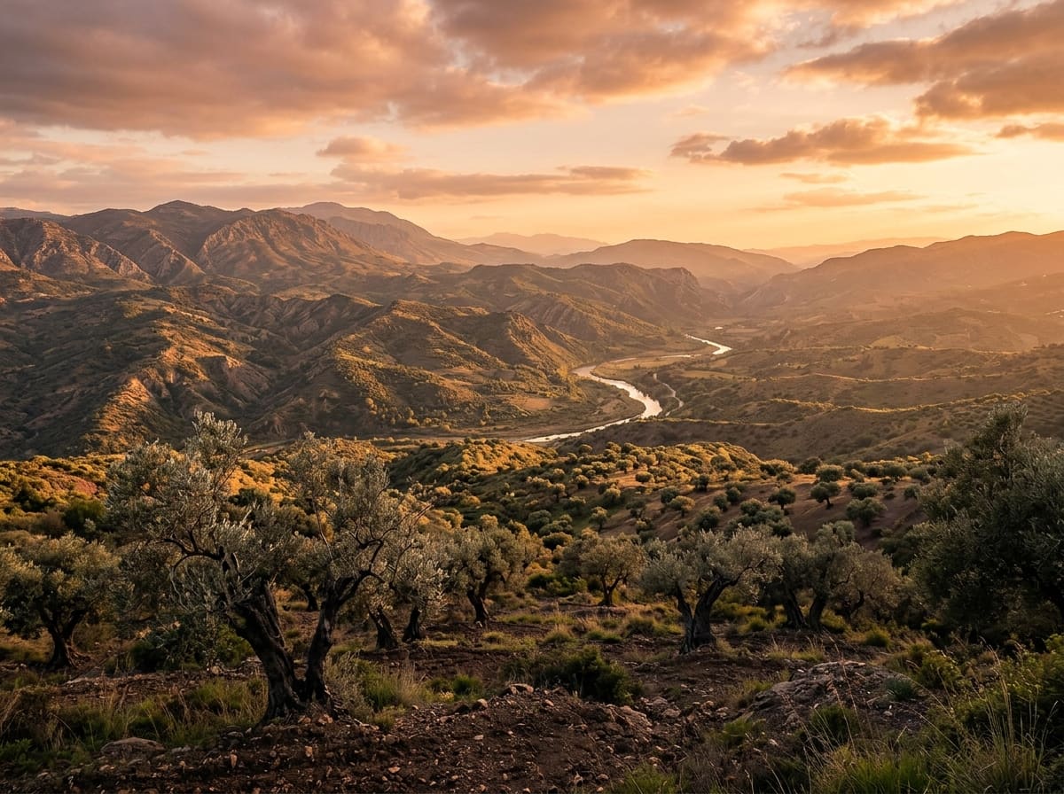
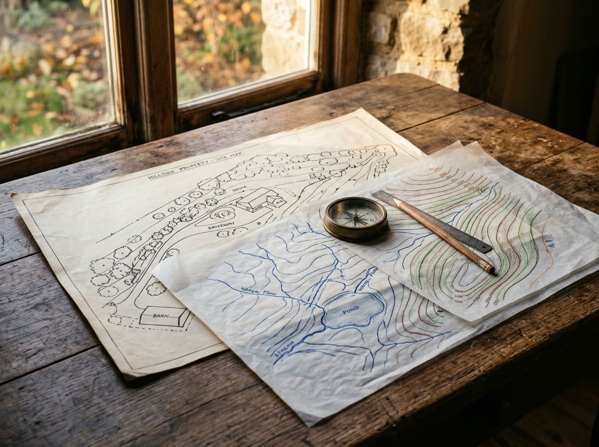
0 of 8 pages read. Read them all for the stamp in your travel passport.Every design begins long before the first spade goes into the ground. Permaculture asks for patient observation: how the sun moves across a place, where the wind comes from, where water gathers and where it runs off, what grows there of its own accord. This chapter stands here because the principles of the last chapter need something to work on, and that something is the real land in front of you.
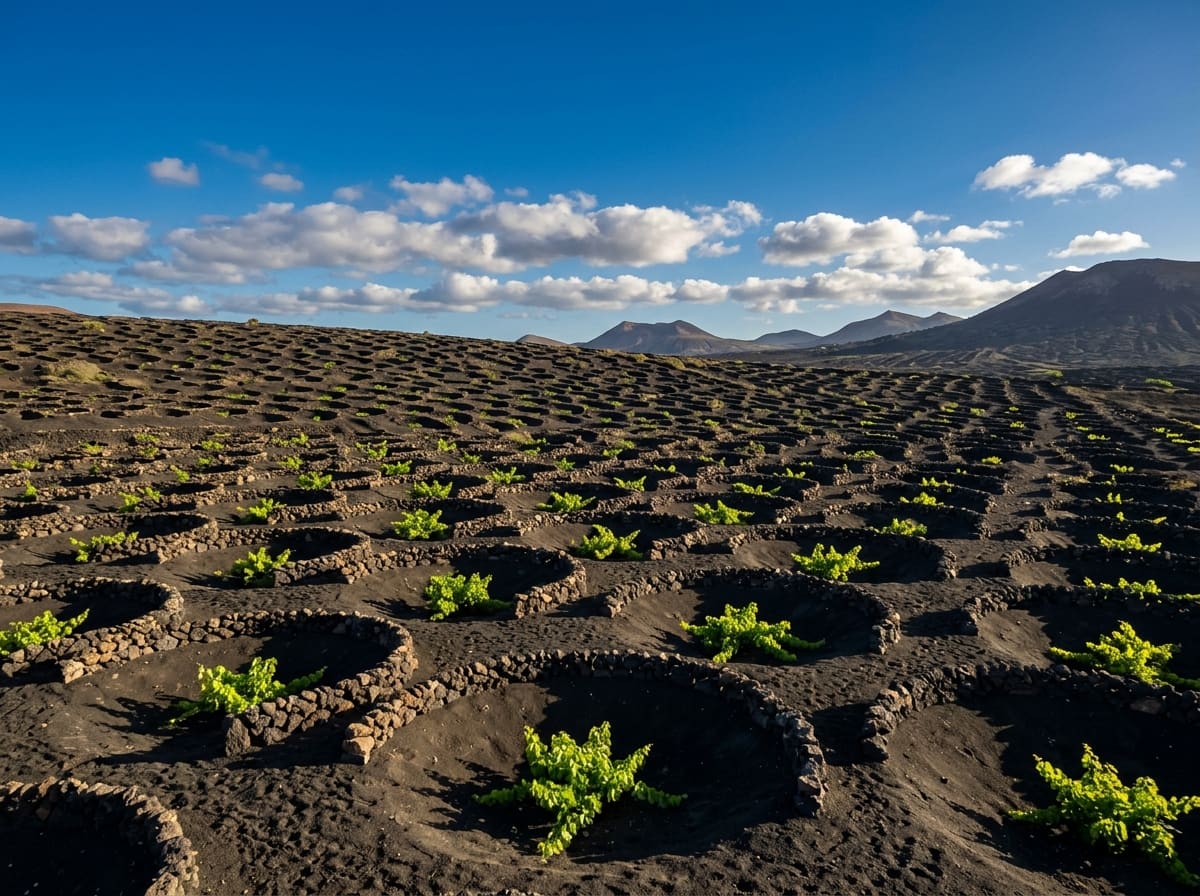
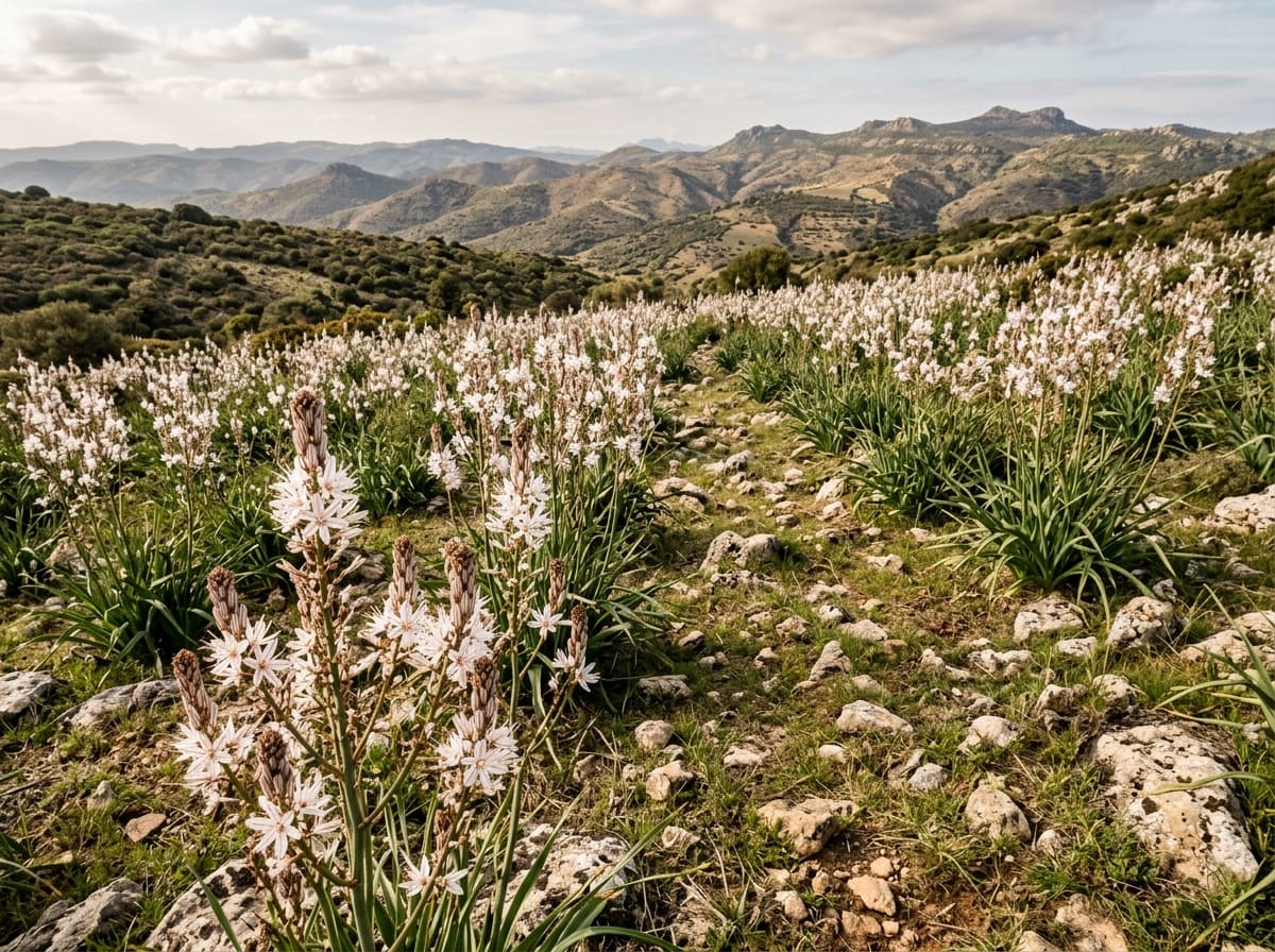
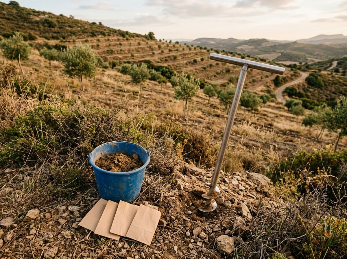
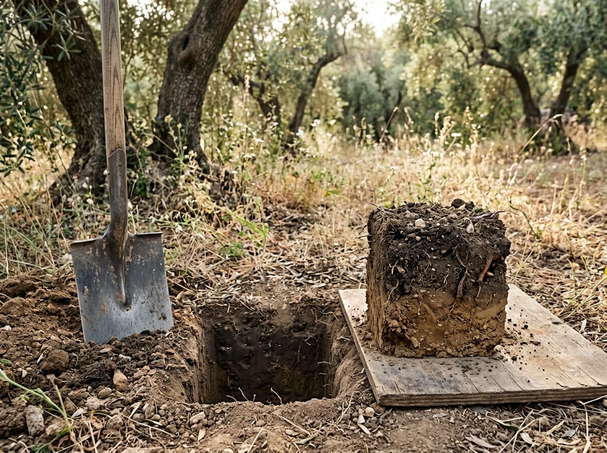
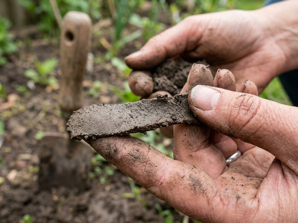
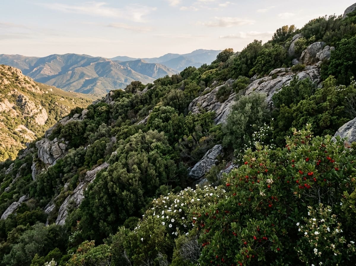
The land gives its information to anyone who knows how to ask. Wild plants are a soil report of their own: where they grow reveals moisture, acidity, nutrient supply, light or salt. A block of soil lifted with a spade shows crumbs, roots, earthworms, smell and compacted layers on the spot. Moist earth rubbed between the fingers tells you roughly how much sand, silt and clay it holds, without a laboratory. A laboratory analysis then measures pH, humus, nutrients, lime, salt and sodium, and is best read together with those field tests. In the Mediterranean, the macchia, the dense hard-leaved shrubland, shows what tough plant cover can hold on ground that woodland has lost.
The pages below explain each method. Together they turn a first impression into knowledge you can design with.
Pages in this chapter


Try it yourself
Soil between your fingers
- 1Take a lump of soil the size of a walnut from your garden or from a large plant pot.
- 2Moisten it with a little water and knead it until it feels like soft putty.
- 3Rub it between thumb and forefinger: gritty points to sand, silky to silt, sticky to clay.
- 4Try to roll it into a thin thread. The longer and thinner it gets without breaking, the more clay it holds.
- 5Wash your hands and write down what you found, with the date and the spot, so you can compare later.
At Sa Medada
There is no laboratory analysis of the soil at Sa Medada yet. Until it exists, texture by feel and the spade test give the first reading, and the spade test belongs to the wet season, because from May to September the ground is too hard for it. The LiDAR wetness map shows a comparatively dry main area and moister channels along the edges. Macchia covers the steeper slopes, which according to the LiDAR maps reach gradients of 25 to 45 degrees.